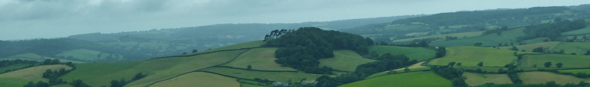
Lifelines Project: Char Valley
|
2.3 Project Development -
Subsequently, in Phase 2, the Project will go beyond ‘chemical-free’ and record areas where the owners already use carefully defined, ‘wildlife friendly’ management practices. Again, others will be invited to adopt these practices and the Project hopes to be able to offer information to help people make these changes. As it develops, the map will become a useful tool to identify strategic areas (e.g. for tree planting or meadow restoration) and barriers to the project’s objective. Relevant data can be added: i.e. land use, ancient woodland, sites of conservation interest, protected areas, etc. Adding field names to the map will both engage the community and help to create a rich historical and cultural record for the future. As momentum increases, the whole community (including schoolchildren and the elderly) can become involved. Hopefully some will become ambassadors and learn to use the software and the project will create an increased sense of pride in, and engagement with, the landscape, as well as improving soil and water quality, enhancing biodiversity, improving the appearance of the valley – making it more attractive to visitors, on whom the community depend for employment and income. 2.4 Later Project Development Subsequently, it may be possible to increase the benefit to wildlife and the ecosystem by asking residents to tell the project about land that is managed using other sustainable, regenerative and ‘wildlife friendly’ management practices: e.g. areas of land that are managed organically or using sustainable land management practices or where trees have been replanted for carbon capture and flood management. The mapping software can record these using separate information ‘layers’. The map and database can also be developed by adding relevant data about the Char Valley as it becomes available: i.e. land use, ancient woodland, ponds, sites of conservation interest, protected areas, nature reserves, etc. Equally, of course, the map can be extended to include neighbouring river catchments and parishes. 2.5 Resourcing 2.5.1 Personnel - Initially (0-18 months) a part-time manager will be needed to kick the project off, oversee the website, handle queries and publicity, and liaise with major landowners like the National Trust and local farmers, householders and schools. Some technical input will also be required to set up and manage the web map although once established it could be largely managed by the community volunteers. With luck, one or more volunteers could be found from the community to manage and extend the project. 2.5.2 Project Validation - Char Valley Parish Council will be approached for their endorsement and the National Trust. Materials will also be available for the public meeting on 21st March 2020. 2.5.3 Financial Support - The Project will approach Dorset AONB and The National Lottery Community Fund’s Climate Action Fund, to seek funding for work on the mapping and a part-time project manager in the first 18 months. 2.6 Community Background The idea is the brainchild of Char Valley residents, Owen and Suki Day, Ines Cavill and Jyoti Fernandes, with technical Geographic Information System (GIS) support from John Blanchard. They aim to have preliminary maps and an outline of the project ready to present at the public meeting on the Climate and Ecological Emergency on 21st March 2020. >>> Continue to: 2.7 - Scientific Background (<<< back to Project Outline) (<<< back to Project Detail) |
